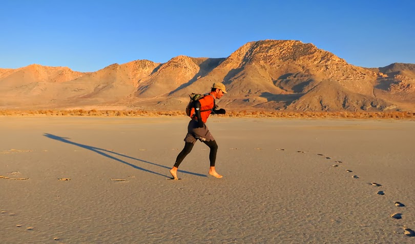
Las Vegas may not be at the top of everyone's list for best family-friendly vacations. But if your idea of a family vacation includes hiking, biking, and other exploits in the sun, Vegas is an excellent alternative. I could see this becoming a New Year's tradition for us.


 |
| Zoe navigates the cavernous tunnels along the Historic Railroad Trail near Lake Mead. The tunnels and railway were built in the early 1930s to transport huge penstocks and other materials to the Hoover Dam construction site. Although the train tracks are long gone, the hard-packed railroad bed makes a nice level trail for young bikers. |
 |
Zoe points to fault slickensides formed on volcanic rocks along the trail. Slickensides or "fault glass" is a polished surface formed by friction when the two sides of a fault slip past one another during an earthquake. The horizontal striations on these slickensides indicate lateral movement along a strike-slip fault.
|
 |
| Between the tunnels (there are six) are great views over Boulder Beach and the Lake Mead Marina. |
 |
| I though it would be fun to show my kids Hoover Dam on our way out our hike. With Lake Mead water levels so low (the lake here is only about 23 feet higher than the all-time low in November 2011), one gets a great view of the upper parts of Hoover Dam's intake towers and the white "bath tub ring" around the lake.. |
 |
| This 1934 photo shows early construction of the dam and one of its intake towers on the Nevada side of Black Canyon. I'm always impressed with the grand engineering and construction accomplishment that is Hover Dam. With an industrial project at such a massive scale and in such harsh conditions, there was a price to pay. Nearly 100 people lost their lives while working on the project. Contrary to rumor however, nobody is buried within the dam's concrete. From the LA Public Library Image Archives. |
 |
| Hoover Dam nears completion in 1935. Note that the intake towers only extend to about half of the total depth of the canyon. Water is screened through the towers and drains into 30-foot-diameter steel penstocks installed into solid rock. The water is then divided and released over a number of turbines before entering the Colorado River. Most of the power goes to California with smaller amounts channeled to Nevada and Arizona. From the LA Public Library Image Archives. |
 |
| Looking downstream from the dam, one sees the power plant and Colorado River below, and the Mike O' Callaghan-Pat Tillman Memorial bridge high above. The bridge was completed in 2010 and is the second highest bridge in the US. Zoe and Ava couldn't believe that those are real full-sized trucks parked down by the power plant. |
 |
| I think the highlight for everyone on our trip was our 6-mile hike (round trip) to the Arizona Hots Spring. Our route descended White Rock Canyon to the Colorado River, followed the river south, then returned via the "Mountains Route" of Hot Spring Canyon. This is where White Rock Canyon starts to get deep and narrow. |
 |
| Ren poses on highly brecciated andesitic lava flows in White Rock Canyon. Pretty much all of the rocks you see in the canyons in this area are volcanic and likely date from the Miocene epoch (~5-20 million years ago) when the Lake Mead area was being rapidly extended (stretched). Most units appear to be lava flows, but there is some tuff (accumulated ash and rock that have fallen from the sky after violent eruptions), as well as a few mud flows. |
 |
| You will rarely see any white rocks along White Rock Canyon's walls, but look down and you'll see that the canyon floor is comprised almost entirely of boulders and sand of white granite. The granite has washed down from the Wilson Peak pluton (a crystallized magma chamber) that is exposed several miles to the northeast. |
 |
| As you get deep into White Rock Canyon, near the Colorado River, water begins to seep out of the walls that supports little green hanging gardens. |
 |
| The final narrows of White Rock Canyon before reaching the Colorado River and Black Canyon. |
 |
| The kids couldn't resist dipping their toes into the cool, placid waters of the Colorado. |
 |
| Lunchtime on the Colorado. |
 |
| Some have argued that the Colorado River should have been named the Green River which is the name of the river's longest tributary (originating in the Wind River Range of Wyoming). Judging by the color of the river this day, I think they have a sound argument. |
 |
| Hikers make there way along the narrow trail lining the Colorado River between White Rock and Hot Spring Canyons. Note all of the Fall-like colors. |
 |
| Although Ringbolt Rapids didn't even qualify as a riffle when we passed by, in the late 1800s before the taming of the Colorado, iron rings where installed into the canyon walls here to help winch steam boats up through the rapids. Could this bolt I found above the river date to the 1800s? |
 |
| A desert willow clings to its remaining green and golden leaves near the mouth of Hot Spring Canyon. With warm temperatures and yellow leaves on the trees, it felt much more like a pleasant autumn day rather than the middle of winter. |
 |
| Ren makes his way up Hot Spring Canyon. Here the water is just luke warm, but it gets hotter as you go upcanyon toward the main spring. |
 |
| Warm waterfalls in Hot Spring Canyon. |
 |
This is the first shallow pool you see coming up the canyon. It's great with little ones because it's not too hot and it's less than three feet deep.
|
 |
| A 20-foot ladder leads to the next pool which is deeper and warmer than the first. |
 |
| Even this tarantula looked like he was enjoying the hot springs. |
 |
| One of the hotter and deeper upper pools enclosed in a beautiful slot canyon. |
 |
| This is where the hot springs just begin to seep up through the canyon floor. It's a good place to put dry clothes back on. |
 |
| The hike through the upper part of Hot Spring Canyon isn't quite as spectacular as the hike through White Rock Canyon, but the geology is still just as interesting. Here, Zoe and Ava straddle a fault placing a light tuff (right) against a dark mud-flow breccia. |
 |
| This is the final uphill push if taking the "Mountains Route". My kids were pretty pooped at this point, but Cheetos powered them on. |
Views: